The Basics of E-Scouting: How to Find Hunting Grounds Electronically
The Basics of E-Scouting
How to Find Hunting Grounds Electronically
Written By: Stephen Miller, BowhuntingAZ

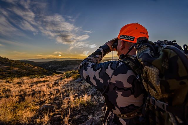
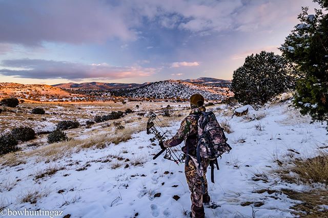
We would all like to spend more time in the field, but work, family and day to day life just don't allow that as much as we'd like. Some of us can invest more than others, but for those of us who are constrained on time these are some of the reasons why e-scouting can provide us a large advantage in the field today. Many times, I've seen deer or elk wandering off over a certain saddle or frequenting a specific juniper grove. What hunter wouldn’t feel the urge to immediately go and explore that area? But daylight and other commitments make it difficult to achieve as much as we’d like.

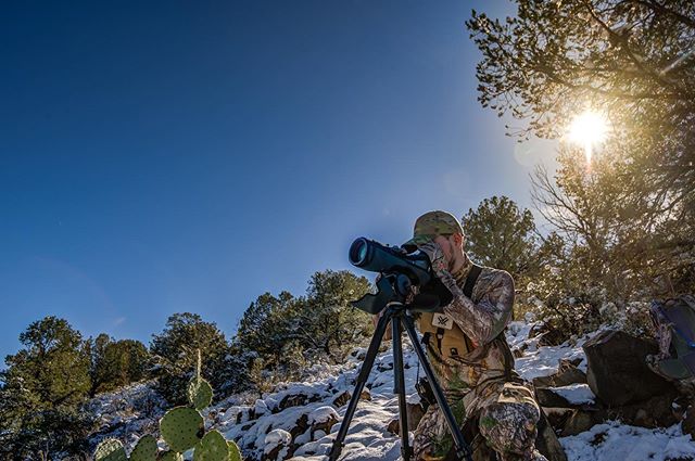
Jake scours the canyon for bucks with his Swarovski spotting scope rented from Open Country Optics
https://www.opencountryoptics.com/
Maybe you're new to hunting all together, or maybe you're just looking for new areas to hunt. I've always found it mentally difficult to just up and go to a whole new spot without a purpose or strategy. I don't like to aimlessly wander. I need to have a destination in mind otherwise I feel like I'm just wasting my time. Not everyone is like this and I get that, but it's how I operate. E-scouting can be your biggest friend in the venture to find new ground. Here are a few tips and pointers I've picked up along the way to help you better understand what to look for and where to start.

Below are the apps you will need to begin your e-scouting adventures. I also recommend a great cup of coffee as well! If you have a split screen setup for your computer that’s even better as each screen can showcase its own separate map. Get comfortable and have a notepad handy as I like to jot down mental notes of things i want to look for once i get out to the actual location in person. This can also help me prioritize what parts or features i want to visit first. But I digress, here’s the applications that I personally use to suit a well rounded e-scouting session.

onX Hunt: https://www.onxmaps.com/
Flatline Maps: https://www.flatlinemaps.com/
Google Earth: https://www.google.com/earth/
Google Maps: https://www.google.com/maps
"The best of 4 worlds" Why I use multiple apps to hunt with and plan

Here’s an example of the glitch I experience via onX’s tracking. This specific time it went MILES out of the way in area’s I’ve never even hiked.
Each app that I use has its individual benefits. Flatline Maps is drastically quicker at pulling up their maps and does not glitch like onX has for me in the past. This has been extremely frustrating as I've been trying to track my footsteps with onX, only to have their app glitch and miss a vast portion of my trek, only to freak out and draw a straight line as if a bird flew it overhead. Flatline hosts the entire map offline in the Avenza Maps app and is a hunting unit-specific map. Flatline does a significantly better job at tracking my footsteps and also seems to have a significantly less battery draw from my phone. OnX seems to do nothing but drain the life from your battery even if you have airplane mode on or their “offline” option turned on as well.

Flatline Maps
Flatline Maps is a family-owned Arizona based mapping company. They specialize in hunting unit-specific maps both via cellphone GPS app and also rugged physical maps as well. I’m a HUGE fan of Flatline and they’ll always be my top choice when it comes to a trustworthy map that I can count on! I’m especially stubborn about always carrying a physical backup with me just in case something happens to your phone. I still want to be able to navigate without modern-day technology.
Flatline Maps offers an easy to use GPS application utilizing the Avenza Maps GPS System. Snappy load times and glitchless footsteps tracking are a surefire way to alleviate the headache of knowing where you are or where you’ve been. When I’m on the hunt it’s important to me that I know where I’ve been, I'm almost always tracking my footsteps. When it comes to tools of the trade I need something that I can depend on and Flatline has never disappointed me. No glitches, no lag, no B.S. Plus we all love knowing where private land is, rest assured you’re in good hands as Flatline maps showcase's private property parcels outlined in red. There’s a slew of waypoints to choose from and although there’s not quite as many customized ones as I’d like to see, there’s enough to get the job done. Having redundancy is a huge talking point for any hunter in the field. Utilizing both Flatline and other applications, you’re set for success in the mapping arena. Plus, we all should strive to support local!

Flatline Maps showcasing private property outlined in red

Water tanks are searchable via their cellular app.

Drop and customize way points. Choose a photo to describe the location.

Pick from several different icons to describe the location.


Google Earth
Google earth gives us all a massive upper hand. I haven't experimented yet with any offline capabilities if there even is one. Google earth is advantageous in its ability to give the explorer an aerial view from above. This can help prioritize and whittle down which spot takes precedence over others. The application is available on your phone or desktop computer. Using the 3D view, you can get an extremely good idea of what slopes might be worth glassing, where certain game trails run and which saddles you need to be observing for the upcoming seasons. One thing that I love about google earth is how easily you can pick out travel corridors used by wild game. Chiseled outlines look like veins of the mountains as they stretch out across the landscape. Do your best to stay where there are no roads and cross-reference other apps to make an ideal hunting location a better prospect worth your time and boots on the ground. Seeing things from a bird's eye view gives you an amazing overall perspective as to where the trails go, what intent the local game might have and where their bedding area is in comparison to the overall landscape. One of the things I love about Google Earth’s 3D view is that you can easily pinpoint glassing knobs. I’ll often spot them and then transfer that location into Flatline Maps. This way the next time I'm in that location I know right where I need to go and I’ll instantly have the best view around. This eliminates a lot of footwork and saves you a ton of time in the field.
onX Hunt
OnX is beneficial for its hybrid satellite and topographic maps combo. Being able to see how the landscape changes with drop-offs, canyons and such while visualizing the landscape itself via satellite is a huge advantage. OnX has also recently updated its waypoint customization. Awhile back, I had written them and asked if they could include the ability to embed photos on a trail cam waypoint so I knew what bucks were specifically on that cam. Sure enough in a recent update, you can now do just that.

A vast custom library of waypoints offers you a ton of options for marking your maps. Overall this will help you better understand the notes you make along the way.
One of the strategies I like to use is by drawing an area of frequent travel from the deer and then shading it in with a shaded color. This shows what pockets I know I can frequent during a hunt that I have seen or captured high activity in. I'll change the outline of the border to a more dotted symbol so I don't get it confused with other markings that may be in the area. I'll also mark game trails in a similar manner. A yellow, dashed line showcases the overall trail and once I establish that the deer or game are moving through there frequently I'll change the color to a green or something that I know symbolizes I have established that they are fact active along that pathway. Typically this is after some reconnaissance with trail cameras.


Another pointer is once you've visited an area that you've e-scouted in person, I'll draw windage when you're at the spots you've selected. This way you'll always know a general heading for the wind direction in that spot. Now, of course, there may be the occasional anomaly but I've found a majority of the areas I go to have a consistent wind direction. As always, be prepared to adapt and bring your wind checker!

The yellow dotted line with yellow shading indicates a travel corridor. The dashed yellow line indicates a game trail through that corridor. The blue arrows indicate wind direction readings i’ve taken in the area while visiting on foot.
One thing I've also discovered over time is that you will often find unmarked waterholes if you look carefully enough via the 3D satellite view on google earth, google maps and OnX. Occasionally flatline maps will have some unmarked holes as well. Some of these are clearly visible while others are extremely hard to dictate if it's a mere shadow or a watering hole. If I've found what I believe may be a watering hole I'll then cross-reference multiple apps to determine if it's worth checking out or not. Usually, I’ll start on Flatline Maps then transition to onX and finalize my discovery with google maps. If two or more apps show water visibly sitting there, your chances are much higher that it's full of water. But just because you find water on one app doesn't mean it's full. Mark each and every watering hole you find with a waypoint as you e-scout. If the app you're using allows you to use a specific color for each watering hole I mark it as "yellow". Almost as if saying "caution, there may or may not be water here"! Once I visit the location in person and find a good sustainable amount of water in it, I will then mark the watering hole blue. This confirms I’ve visited the hole and found water. If you’re not consistently hunting an area, I recommend visiting these holes on a quarterly basis as water levels fluctuate drastically throughout the year in Arizona. Remember, when in doubt, cross-reference multiple apps to see if there's a higher chance water is really there. Don’t waste your time!

Left: An unmarked watering hole I found via onX Hunt

Right: Flatline maps shows no watering hole here. This shows the benefits of having multiple apps available and one with satellite view capabilities.
Both OnX and Google maps are showing no water in this tank. This can almost guarantee it’s empty for a majority of the time. Something to keep in mind when scouting for water.

Google Maps view of tank

OnX view of water tank
As I’ve said before, no one's approach is the end all be all solution. Remember that exposing yourself to as much knowledge as possible and then cherry-picking what works best for you in your scenario is the best way to grow! I hope this insight on to how I go about e-scouting helps you in your journey towards that next hunt.

Don’t forget to check out the Bowhunting AZ Podcast!
Follow us on Facebook, Instagram and Youtube
@BowhuntingAZ
If you’d like to show your support head on over to the store and check out our merch!
https://bowhuntingaz.com/store
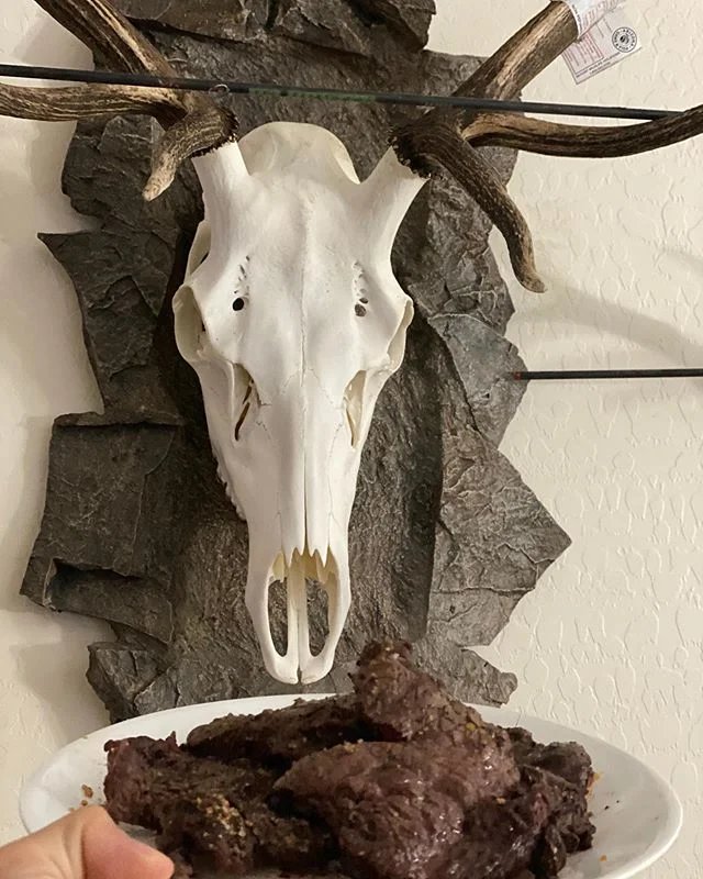
If you like the euro mount hanger in the photo above where I’m sitting at my desk go check out RAXX Inc! RAXX makes amazing bow hangers out of steel. They also make a mini RAXX which is phenomenal for a bow OR euro mounts! I currently have two elk skulls hanging in my office on these mini RAXX and I love them! They have most major bow brands or you can order a custom design.
Show off your passion!
https://www.raxxinc.com

After you’ve done your E-scouting whether you’re headed to the gym in preparation for season or you’re headed to the mountain, grab some of Dark Mountain’s Kodiak Pre-Workout for absolute domination wherever you go!
https://darkmountain.com

Dark Mountain’s Kodiak Pre-workout